Picws Du, Llyn-y-Fan Fach, & Fawr hike guide via the Nant-y-Llyn
Waterfalls, dramatic flat topped mountains, and two enchanting glacial lakes, this 10 mile loop in the western Brecon Beacons is hands down my favourite hike in South Wales.
There are a number of superlatives I could use to describe why this walk is so special. Ultimately it comes down to the combination of the truly awe inspiring scenery alongside its relatively crowd free peaks which brings a certain solitude which is hard to find else where in the national park.
If you only have the time to tackle one hike in the Brecon Beacons I would make sure its this one.
Key information
Mountains Summited: Picws Du (749 m), Fan Brycheiniog (802m), Waun Lefrith (677m)
Hike Distance: 16km/ 10 Miles
Hike Duration: 5-7 hours
Elevation gain: 2,125 ft / 725m
Hike Difficulty: Hard
Technical aspects: None
What Three Words location of start point: Magically.manage.developed
Where to Park
This route starts from a single track road on the eastern side of the mountains as opposed to the usual start point Llanddeusant.
Although the route is slightly more difficult as the initial path isn’t clearly marked, the route is more dramatic as you will pass several beautiful waterfalls during the initial section of the walk.
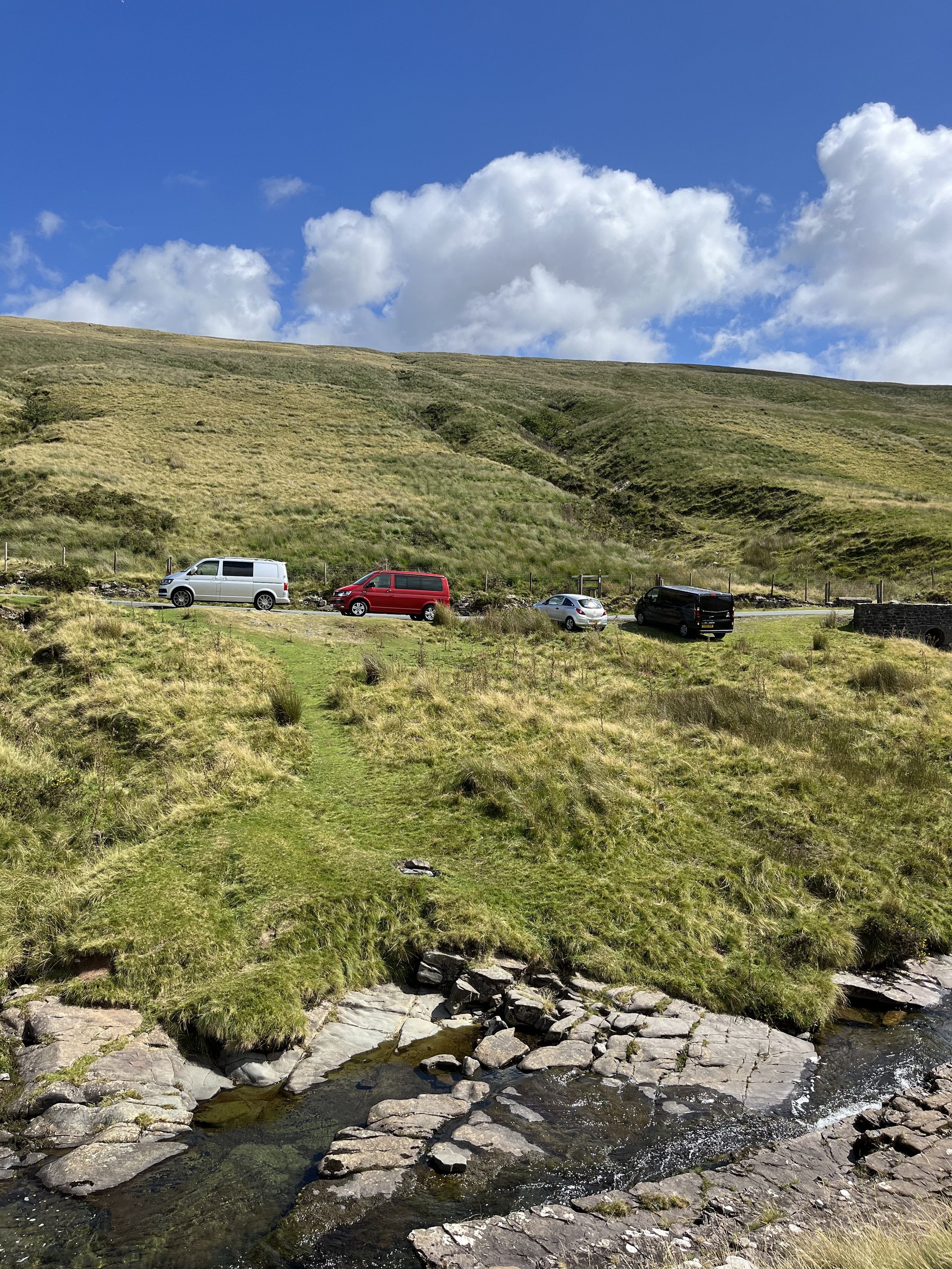
The start of this hike is a small grassy lay-by marked by a stone wall on the side of a single lane country road.
It is easily driven past so keep on the lookout for the Nant-y-Llyn river which will be on the left-hand side.
The start point for the hike which is marked by a stone wall.
The what three words location is Magically.manage.developed
There is extremely limited parking (space for 5 cars) at the start of this walk. Arrive super early to avoid being disappointed and please park appropriately.
If there are no spaces left you can continue up the road for a further half a mile where you will find a small car park.
From here you can walk up to Llyn -y-Fan Fawr but not via the Nant-y-llyn.
The Route
A brief overview of the easier and more accessible route from LLyn-y-fan Fach car park can be found here.
From the layby cross the River Tawe which runs parallel to the road via the shallowest and most convenient means necessary. (Be warned this may involve you having to walk up or downstream or even getting your feet slightly wet)
Once across the Tawe, reconnect with Nant-y-Llyn river and the follow the faint path alongside it’s right-hand bank. On route, you’ll pass several beautiful waterfalls of varying in height from 1 to 10 metres, many of which you can take a dip in so don’t forget to pack a towel.
The Nant Y Llyn. You can see a faint path to the right of the river
After around 2km the path will flatten off and the river will fork in two, stick to the right-hand river bank and you’ll eventually be lead up and around to Llyn-y-Fan Fawr.
Llyn Y Fan Fawr, The faint path up to Fan Brycheiniog can be seen on the left of the image
After taking the time to catch your breath and admire the views, begin to follow the sloping path up the side of the mountain towards Fan Brycheiniog.
Once the steps end and you reach the saddle, take a right and follow the path which runs along the ridgeline towards the summit of Fan Brycheiniog.
The summit will be will be marked by a trig point and large circular shelter of stones. From here continue along the ridge-line until you reach the nearby summit of Fan Foel which will provide gain fantastic views towards the central Brecon Beacons (Image below)
Llyn-y-fan Fawr & the central Beacons from the summit of Fan Foel
From the summit of Fan Foel, either follow the path around the ridgeline or cut across the grassy plateau towards the prominent Picws Du.
Picws Du
There will be plenty of opportunities to snap photos of this magnificent mountain before the path drops down to a saddle and rises back up steeply to the summit.
If you are feeling tired at the saddle, you can drop down to the path beneath the ridgeline and follow the path back around to Llyn-y-Fan Fawr
Once up at the summit of Picws Du, you’ll be greeted by spectacular views over Llyn Y Fan Fach and across the western Brecon Beacons.
The view of Llyn-y-Fan Fach from Picws Du
you will also be glad to know that the majority of the climbing is now out of the way and it’s mostly downhill or flat from here.
I would recommend stopping here for a refuel and to marvel at the incredible glacial landscape in front of you.
From Picws Du Follow the crinkled ridgeline of Bannau Sir Gaer westwards to the summit of Waun Lefrith.
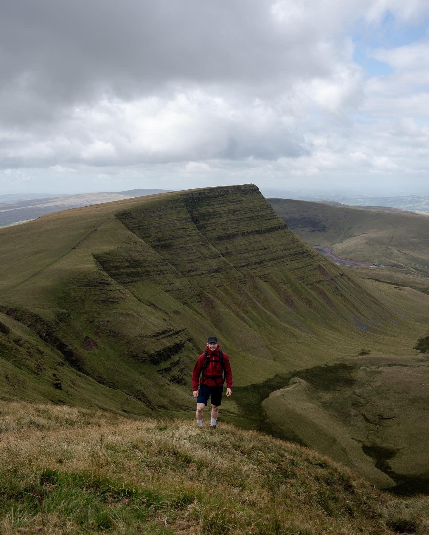
This again is a spectacular viewpoint which looks directly over LLyn-y-fan Fach and back towards Picws Du.
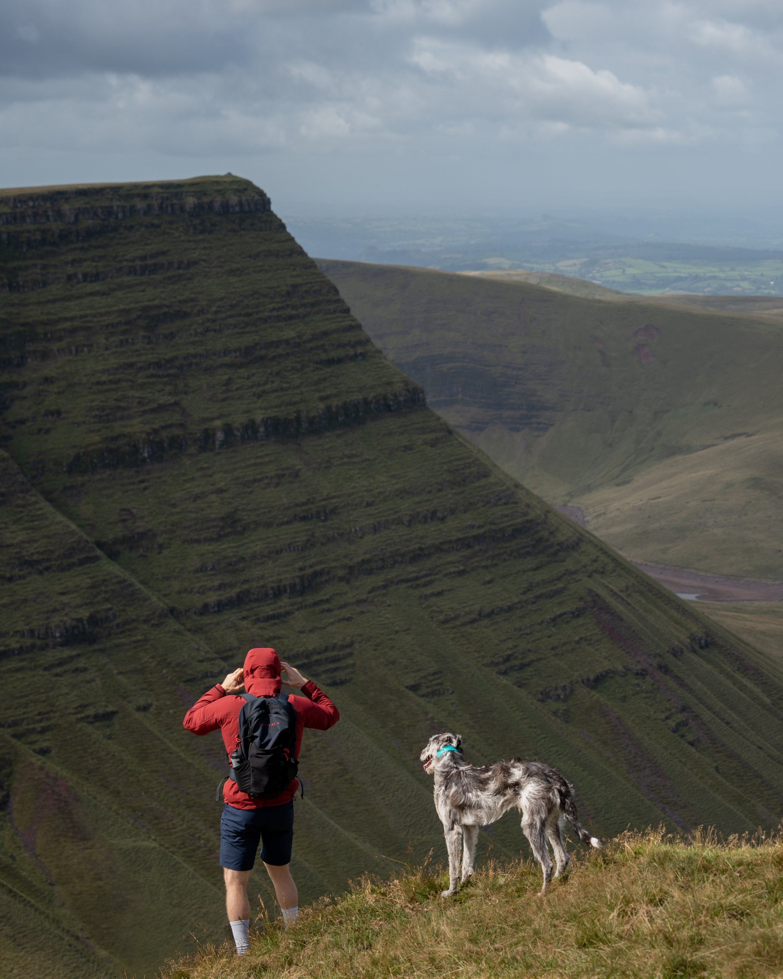
The view of Picws Du from Waun Leffrith
From Waun Leffrith, follow the ridgeline down to the shoreline of the glacial lake Llyn y fan Fach.
Llyn y Fan Fach which translates to Lake on the small hill, sits beneath the glacial escarpments Bannau Sir Gaer.
A real wildlife haven for wildlife, Llyn y Fan Fach has a folklore legend of ‘The lady of the lake’ connected to it.
“a young farmer of the 13th century spotted the most beautiful girl he’d ever seen emerge from the lake, she was a princess from the kingdom of fairies. He courted the fairy princess by baking her bread and after 3 attempts he succeeded in winning her hand in marriage on condition that if he should strike her three times she would return to the lake. For some years they lived happily on a farm not far from Myddfai and had three sons. Eventually the farmer did break the conditions of their marriage pact and the Lady dived back down in to the lake taking cattle with her.”
Make of that what you will, but if you’ve come here on the lookout for a female partner you would probably get more luck downloading Hinge or Tinder.
a drone shot of Llyn y fan fach and Picws du
From Llyn-y-fan Fach follow the path that runs beneath the ridgeline of the Black mountain back east for 3.5km until you reach the shores Llyn-y-Fan Fawr.
On route you might pass the wreckage of a Wellington BJ697 bomber which crashed into the black mountains on the 25th September 1942.
Other than a few scraps of rusting metal metal and a poppy wreath there is very little left to identify the crash site nearly 80 years on so you might miss it.
Once back at Llyn-y-Fan Fawr follow the original path back alongside the Nant-y-Llyn down to your car.
So there we have it my hike guide to The Carmarthenshire Fans.
If you did find the blog helpful, I’d appreciate you giving it a share or giving me a follow on social media, every bit of support goes a long way.
You can find more Welsh hiking inspiration in the following blogs
For more travel, hiking, & photography inspiration around Wales check out my in-depth guides to each of my favourite regions below.


