15 of the best hikes in the Brecon Beacons National Park
From spectacular flat-topped mountain peaks to glistening waterfalls and glacial lakes, the Brecon Beacons National Park in South Wales has a plethora of natural beauty and something for everyone.
In this blog post I have outlined 15 of the best hikes within the Brecon Beacons National Park, ranging from short waterfall strolls to 10-mile ridge hikes.
Every single hike on this list is a trail that I have experienced first hand. They are not listed in any specific order and you can find out my favourite three at the bottom of this blog post.
The explanations for each hike are quite brief, however If you want a more detailed guide on a specific hike, including where to park alongside GPS maps and photos you can click on the link in each section.
At a Glance
Pen-Fan Horseshoe
Pen-y-Fan from Cwm Gwdi
Llyn y Fan Fach & Picws Du from Llanddeusant
The Carmarthenshire Fans via the Nant-y-Llyn
The Elidir trail
Four Falls Walk
Waterfall Country Loop
Waun Fach Via the Dragons back
Blaen-y-Glyn Waterfalls & Fan-y-Big loop
Craig Cerrig Gleisiad
Circuit of the Central Beacons
Sugar Loaf
Ysgyryd Fawr
Henrhyd Falls
Tair Carn Isaf and Uchaf
Pen y Fan Horseshoe
Type: Loop
Distance: 9 Miles
Elevation Gain: 785m
Difficulty: Hard
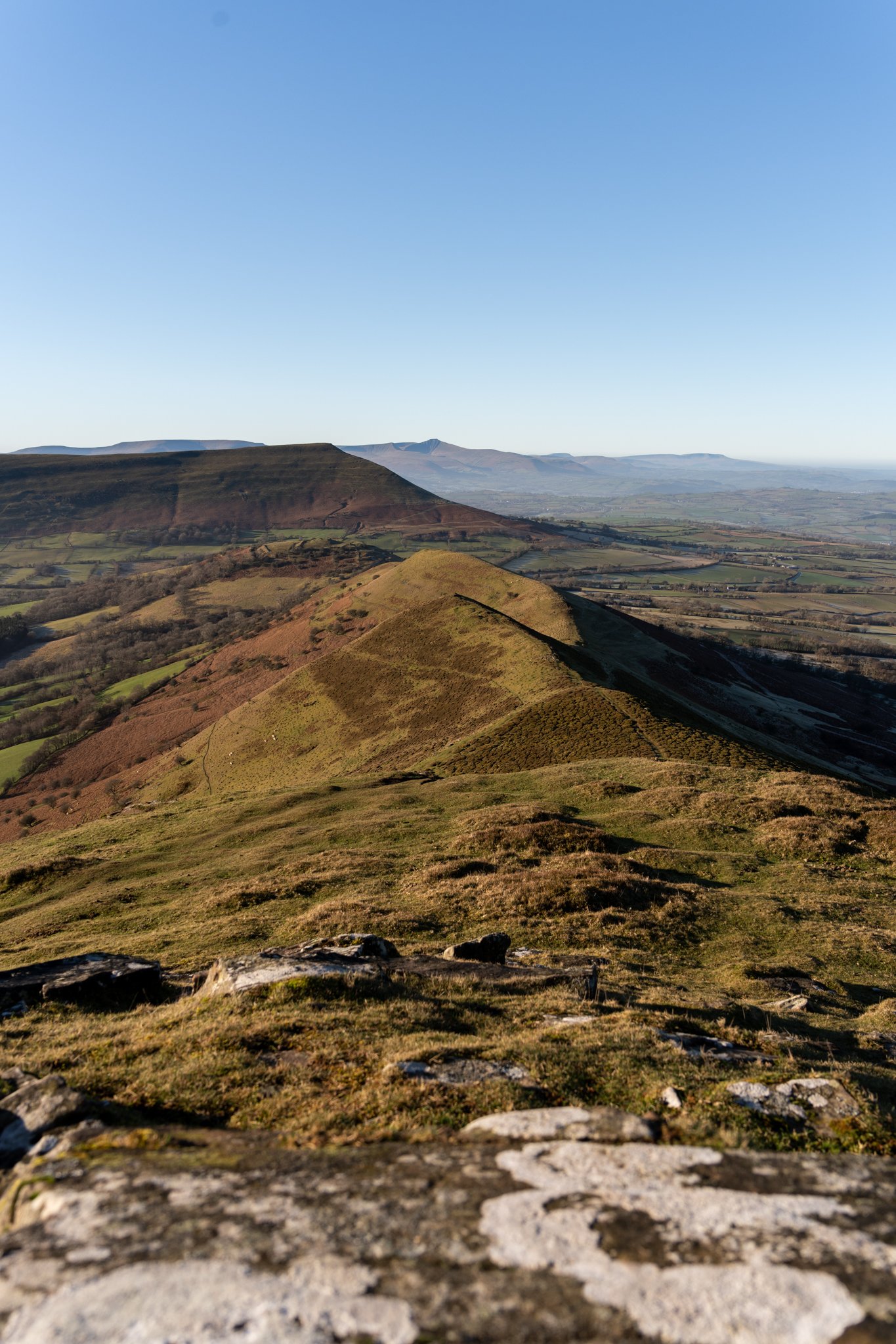
The quintessential walk of the Brecon Beacons which offers magnificent 360-degree views and a chance to summit its three highest peaks; Corn Du (873m), Pen-Y-Fan (886) and Cribyn (795m).
For me, this is the must-do hike within the Brecon Beacons especially if you are blessed with good weather.
The reason I enjoy this route so much is that it approaches the summits from the south, avoiding the hordes of people walking up the ‘Motorway’, the nickname given to the usual routes which start from the A470 to the west of the peaks.
Pen-y-Fan from Cwm Gwdi
Type: Out and back
Distance: 4.5 Miles
Elevation Gain: 505m
Difficulty: Moderate - Hard
Parking & Start Point: National Trust car park at Cwm Gwdi
Now if you don’t want to tackle the horseshoe, or simply want a shorter route to the summit of Pen-y-Fan, then I would highly recommend starting from Cwm Gwdi car park.
I would argue that this is the most scenic of all the routes up Pen-y-Fan and even more impressive than the horse shoe. As you approach the peak from the north you look directly towards the prominent Cribyn and the layers of the central Brecon Beacons.
The route packs more elevation gain- that the standard motorway route from the A470, but the trade off will be that you will have significantly fewer people until you reach the summit.
Llyn y Fan Fach & Picws Du from Llanddeusant
Type: Loop
Distance: 5.6 Miles
Elevation Gain: 495m
Difficulty: Moderate - Hard
Llyn-Y-Fan Fach (Lake of the small hill) is an enchanting glacial lake set beneath the steep flat-topped hills of the Carmarthenshire countryside. Sitting above it is the prominent, snow plow shaped Picws Du, one of the most dramatic peaks in the national park.
This is a lesser-known gem situated on the western border of Brecon Beacons but in my opinion, is one of the most beautiful locations in Wales.
Although slightly more difficult to reach than the popular Pen-Y-fan, this breath-taking area epitomises the beauty of the Brecon Beacons and should definitely be on your ‘must visit’ list.
The Carmarthenshire Fans via the Nant-y-Llyn
Type: Loop
Distance: 10 Miles
Elevation Gain: 650m
Difficulty: Hard
This monster 10 mile loop is hands down my favourite day hike in the Brecon Beacons and would be my pick of the bunch if you only had the time to complete one.
There a a number of superlatives I could use to describe why this walk is so special but ultimately it comes down to the combination of the truly awe inspiring scenery alongside its relatively crowd free peaks.
The walk contains waterfalls, dramatic flat topped mountains, and two enchanting glacial lakes, all whilst giving you panoramic views across the western Brecon beacons.
My route starts from the Nant-y-Llyn on the eastern side of the mountain. There’s extremely limited parking here, so get there early to secure a space.
The Elidir trail
Type: Out and back
Distance: 3 Miles
Elevation Gain: 150m
Difficulty: Easy
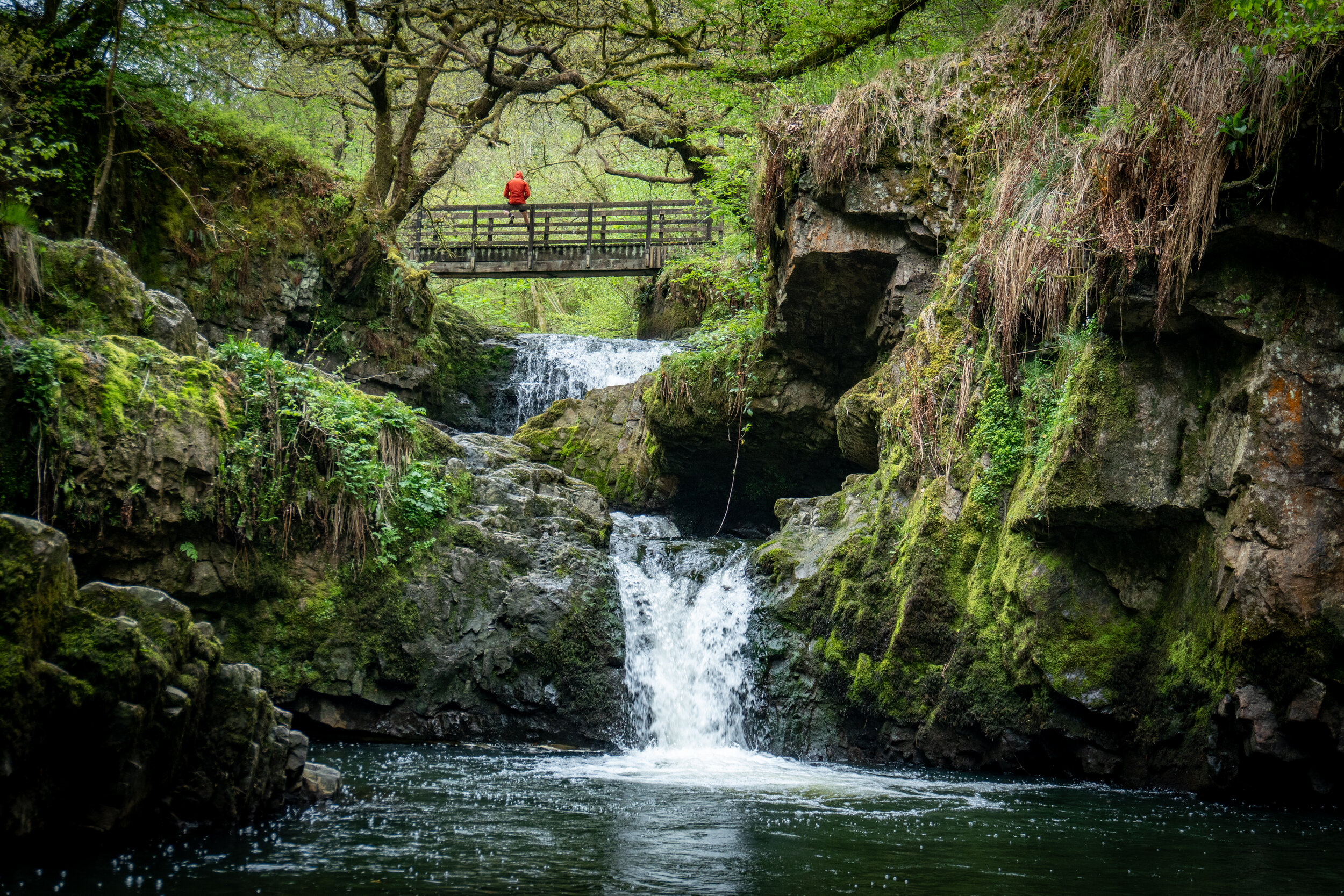
A majestical woodland walk which passes three beautiful waterfalls alongside a dozen other small cascades on the way to the breath-taking Sgwd Gwladus, a 20ft cascade of water which spills over an overhanging sandstone rock lip.
The walk isn’t at all difficult and involves following a well-maintained trail, which can get muddy, suitable for young children
Four falls Walk
Type: Circuit
Distance: 4 Miles
Elevation Gain: 235m
Difficulty: Moderate
This circular walk in the heart of ‘Waterfall Country’ which visits four spectacular waterfalls; Sgwd Clun-Gwyn, Sgwd Isaf Clun-Gwyn, Sgwd y Pannwr and Sgwd-yr-Eira.
This gentle woodland walk is perfect rain or shine and was voted 40th in a 2017 ITV poll to find Britain’s Favourite Walks.
The main attraction of these walk has to be Sgwd-yr-Eira waterfall. Translated into ‘The waterfall of Snow’, it’s a wide cascade of water 10m high and 10m wide which you can walk directly behind.
Standing behind a curtain of water is a feeling which is hard to put into words and one you have to experience. Just remember to pack some waterproofs as if it’s been raining (which it does a lot in Wales) you will get wetter than an otters pocket.
Sgwd Yr Eira
Waterfall Country Loop
Type: Loop
Distance: 9 Miles
Elevation Gain: 300m
Difficulty: Moderate
Linking up three waterfall walks, The Elidir Trail, The Four Falls trail and the Sychrhyd Gorge walk, his wonderful woodland loop encompasses everything that’s great about Waterfall county.
It passes by 9 of the best falls in the Brecon Beacons, two of which you can walk behind, with the option of a short extension to reach a 10th Waterfall.
It is also a trail which is suitable to do all year round and no matter the weather, as the wetter it is, the better the waterfall will be.
Although it isn’t at all technical it does involve navigating some unstable and rocky sections of trail, which under the delightful welsh weather can get quite slippery and muddy. For this reason suitable footwear and a decent waterproof jacket is recommended.
Waun Fach via the The Dragons Back
Type: loop
Distance: 7 Miles
Elevation Gain: 843m
Difficulty: Moderate to hard
Waun Fach via the Dragons Back is a delightful 7.5 mile circular yomp located in the Black Mountains range of the Eastern Brecon Beacons. The moderate hike isn’t at all technical and offers stupendous 360 panoramic views over three counties and the rest of the national park.
On route you’ll pass over the site of the highest castle in Britain before ascending the majestic dragons back ridgeline up to Waun Fach (811m), the highest peak in the black mountains and the second highest in the Brecon Beacons.
Its a superb hike an one which should definitely to be on your to do list if you are planning on visiting the Beacons. A full description of the route can be found in the blog post below
Blaen-y-Glyn waterfalls & Fan-y-Big
Type: Circuit
Distance: 8 Miles
Elevation Gain: 500m
Difficulty: Moderate to hard
This is delightful off the beaten track hike in the Central Brecon beacons which encompasses fantastic views, wonderful waterfalls and a visit to a World War II plane wreckage, all while avoiding the crowds.
Although this route isn’t that difficult, navigation and the ground underfoot may be tricky at times so make sure you’ve either got a good map or use a hiking app with plenty of battery. I’d recommend ‘maps.me’ as they show all the trails and topographic features whilst being able to use offline.
For all the Information on the hike including a detailed route and where to park, check out my blog post below.
Craig Cerrig Gleisiad
Type: Circuit
Distance: 2.5 Miles
Elevation Gain: 260m
Difficulty: Moderate
The 629m peak of Craig Cerrig Gleisiad may not be the tallest or the most well known the Brecon Beacons, but it arguably has has one of the finest views.
Nicknamed the Eiger of the Beacons due to its extremely steep north face, this dramatic flat topped glacial mountain sits within a nature reserve and offers stupendous views towards the highest mountains in South wales, Pen-y-fan and Corn Du.
At just over two miles the hike maybe short but it certainly a packs a punch. In addition, its status as an unknown gem, combined with the fact that it’s a stones throw away from the start point of Pen-y-Fan, means you’ll probably have this place to yourself.
Circuit of the Central Beacons
Type: Circuit
Distance: 13 Miles
Elevation Gain: 750m
Difficulty: Hard to very hard
The circuit of the central Beacons is a longer but superior version of the Pen-y-Fan Horshsoe which throws in a visit to an old WW2 plane wreckage alongside passing by several magnificent waterfalls.
I would easily regard it as one of the best day hikes in Wales, especially when you consider the varied terrain and beautiful landscape it encompasses.
There are a number of places you can park on this hike, but I would recommend parking at the upper Blaen y-Glyn car park. I’d also suggest starting this loop early and tackling it in a clockwise fashion.
This will mean you get the initial road walk and biggest climb out of the way first and you will (hopefully) have fewer people on the Pen-y-fan summit. Finally you will finish at the waterfalls where you could even treat yourself with a refreshingly cold dip.
Ysgyryd Fawr
Type: Out & Back
Distance: 4.3Km
Elevation Gain: 294m
Difficulty: Moderate
Ysgyryd Fawr (Skirrid Fawr) is a short but punchy hike located on the eastern edge of the Brecon Beacons National Park.
The mountains isolated location, means it rises dramatically out of the landscape and the summit offers terrific 360 panoramic views.
Sugar Loaf
Type: Out & Back
Distance: 5.3Km
Elevation Gain: 265m
Difficulty: Easy to Moderate
Situated in the east of the National Park, the 565m Sugar Loaf may not be the highest or the most dramatic of the peaks in the Brecon Beacons, but its ease of access and wonderful panoramic views make it a mountain which is definitely worth climbing.
alongside being a great choice for families Its also a hike which you can do if you are short on time and one which is great for both sunset and sunrise.
Henrhyd Falls
Type: Out & Back
Distance: <1Km
Elevation Gain: 50m
Difficulty: Very Easy
Henrhyd Waterfall is the crown jewel of waterfall county in the Brecon Beacons National park.
At 90ft, it’s the tallest waterfall in South Wales and was used as a filming location for the final scene of Batman: The Dark Knight Rises where it doubled as the entrance for the bat cave.
Its a spectacular waterfall, specially after a period of heavy rain, and one which you must visit if you are in the region.
Tair Carn Isaf and Uchaf
Type: Out & Back
Distance: 5.2 Miles
Elevation Gain: 290m
Difficulty: Moderate
A moderately challenging hike in the western outskirts of the national park which is perfect for escaping the crowds. The summits over panoramic views over the rolling hills and you will be able to see the famous Carreg Cennen Castle.
Final Thoughts
Not sure which three to choose? My top three hikes from this list would be;
Llyn-y-fan Fach & Fawr via the Nant-y-Llyn
Circuit of the Central Beacons
Waterfall country Loop
All three are proper day hikes which will take at least five to six hours. Pack plenty of food, water and get yourself a good navigation app (I’d recommend Maps.Me)before hitting the trails.
If you are short for time, then my top three short hikes would be;
Pen-y-Fan Via Cwm Gwdi
Four Falls Trail
Craig Cerrig Gleisiad
So there we have it, the 15 best hikes in the Brecon Beacons. Did you find the blog useful? Which hike is your favourite and have you tackled any other hikes which aren’t on this list?
If you did find it helpful, I’d appreciate you giving it a share or giving me a follow on social media, every bit of support goes a long way.
You can find more Welsh hiking inspiration in the following blogs
For more travel, hiking, & photography inspiration around Wales check out my in-depth guides to each of my favourite regions below.


